Aerial Photograph of San Francisco, California
1/30/1951
Add to Favorites:
Add all page(s) of this document to activity:

Add only page 1 to activity:
Add only page 2 to activity:
Additional details from our exhibits and publications
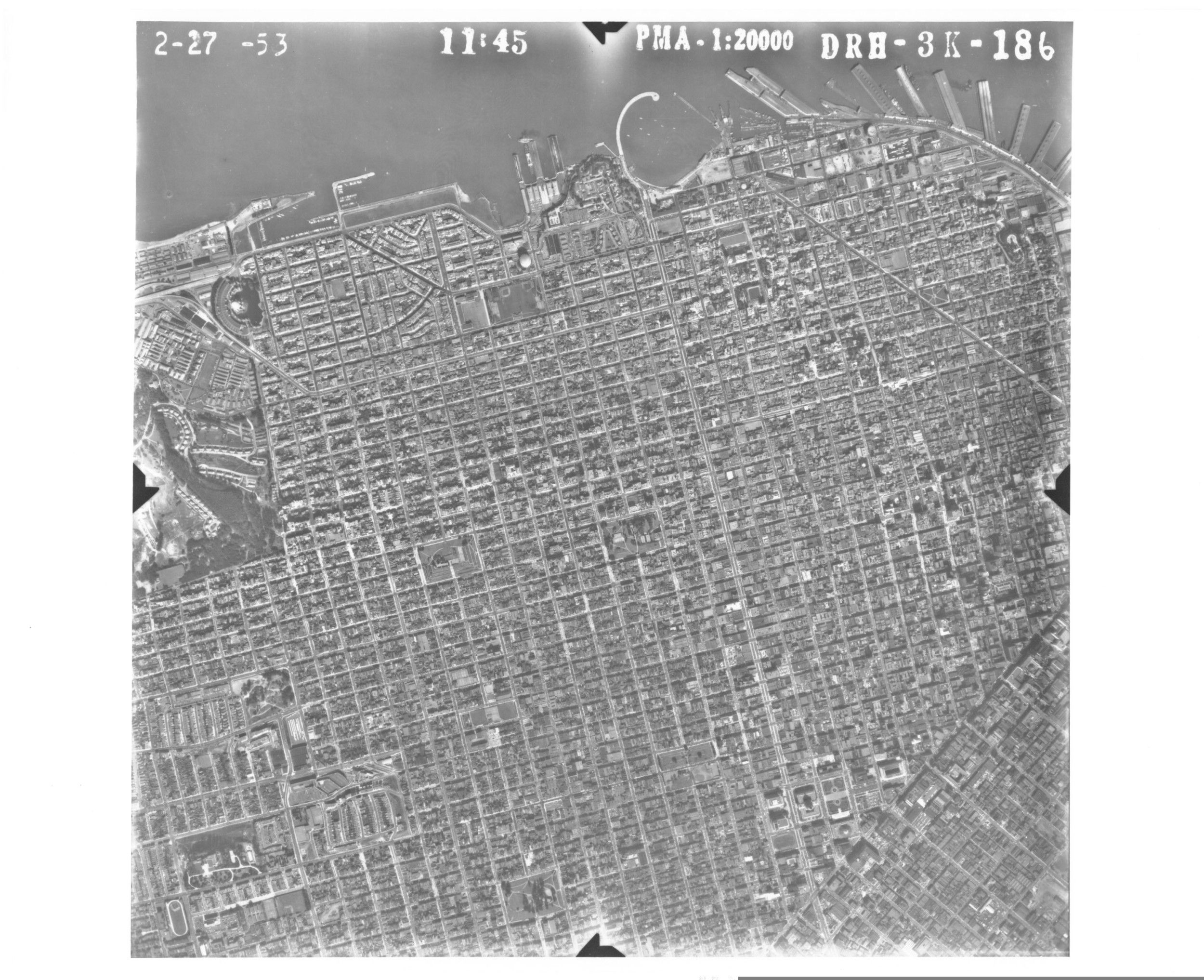
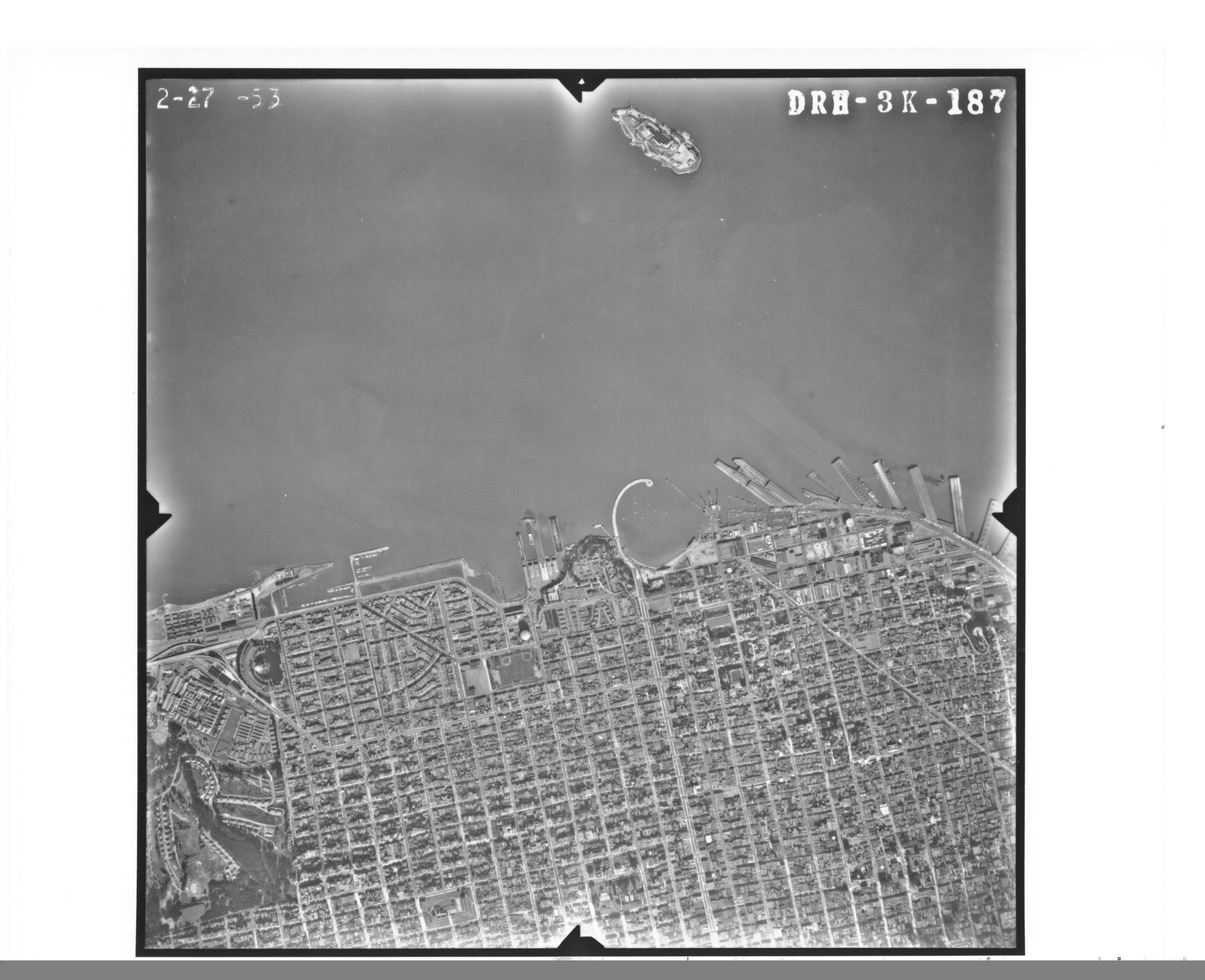
This aerial photograph shows a section of San Francisco, California, and its waterfront along the bay. By the time the picture was taken on January 30, 1951, the expansion of shipbuilding and other wartime defense industries had greatly boosted the city's population. The curving pier in the middle of the photograph is the Municipal Pier; to the right is the city's famous Fisherman's Wharf. Partially seen on the left are the grounds of the Presidio, a former military installation, which is currently part of the Golden Gate National Recreation Area.
This primary source comes from the Records of the Defense Intelligence Agency.
National Archives Identifier: 595057
Full Citation: Aerial Photograph of San Francisco, California; 1/30/1951; Records of the Defense Intelligence Agency, Record Group 373. [Online Version, https://docsteach.org/documents/document/aerial-photograph-of-san-francisco-california, April 26, 2024]Rights: Public Domain, Free of Known Copyright Restrictions. Learn more on our privacy and legal page.
