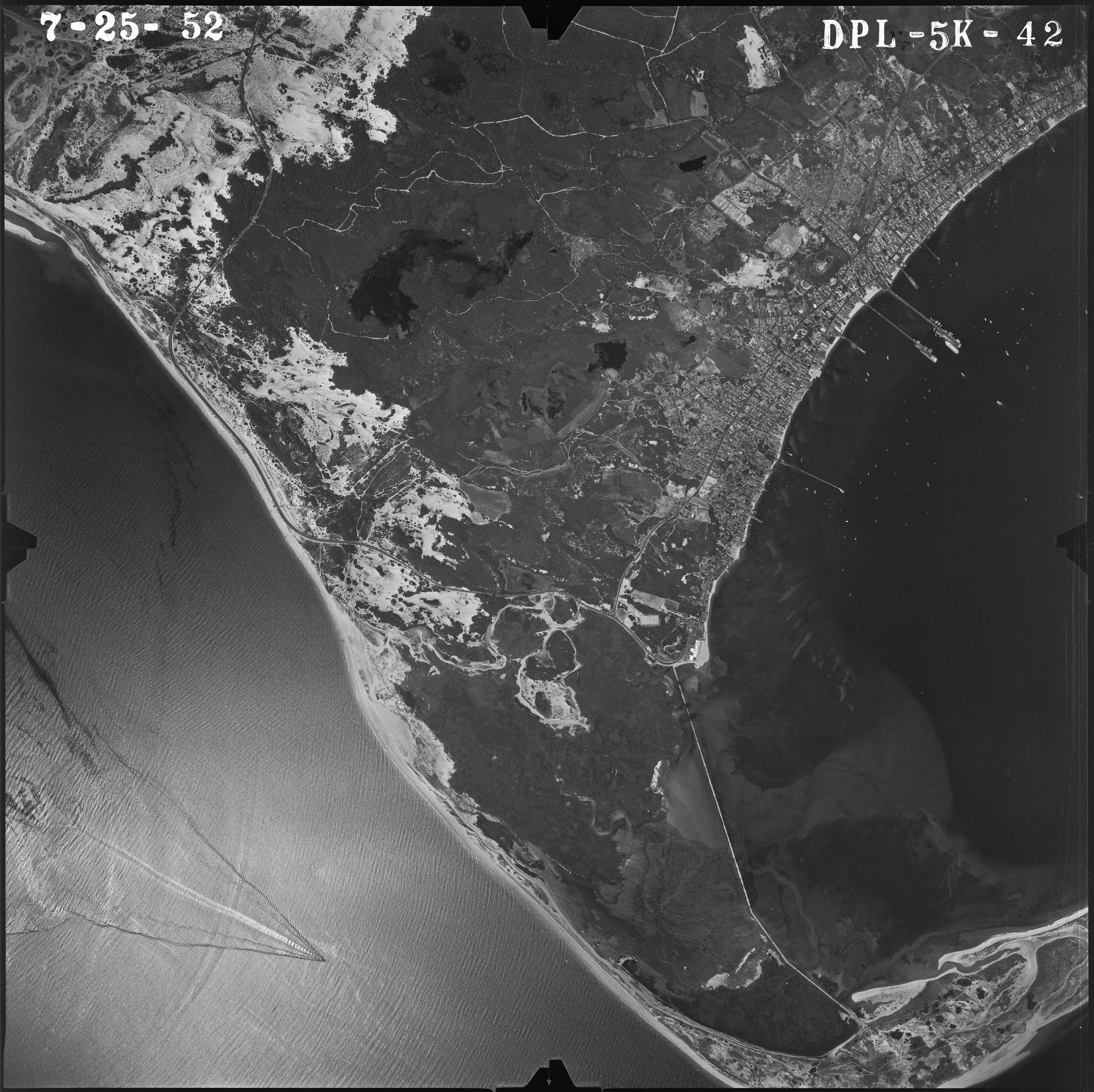
Aerial Photograph of Provincetown, Massachusetts
7/25/1952
Add to Favorites:
Add all page(s) of this document to activity:
Additional details from our exhibits and publications
This image of Provincetown, Massachusetts, at the tip of Cape Cod, was taken on July 25, 1952. The town lies along the coast of the Provincetown Harbor, pictured on the right. Much of the town's land is covered by the Cape Cod National Seashore, established in 1961.
This primary source comes from the Records of the Farm Service Agency.
National Archives Identifier: 595026
Full Citation: Aerial Photograph of Provincetown, Massachusetts; 7/25/1952; Records of the Farm Service Agency. [Online Version, https://docsteach.org/documents/document/aerial-photograph-of-provincetown-massachusetts, April 27, 2024]Rights: Public Domain, Free of Known Copyright Restrictions. Learn more on our privacy and legal page.
