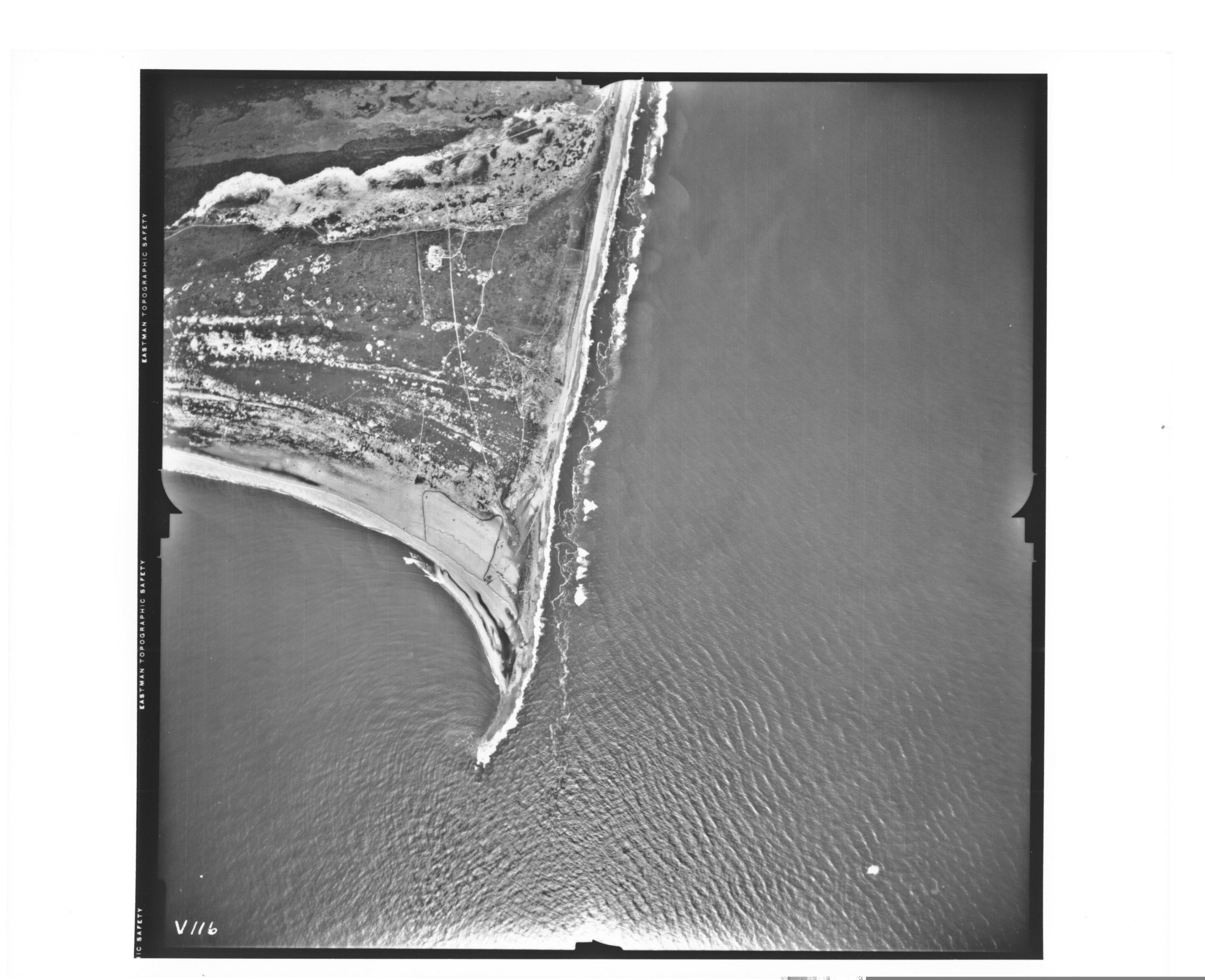
Aerial Photograph of Cape Hatteras, North Carolina
10/21/1940
Add to Favorites:
Add all page(s) of this document to activity:
Additional details from our exhibits and publications
This aerial photograph of Cape Hatteras, North Carolina, was taken on October 21, 1940. It shows roads, the Cape Hatteras Lighthouse, and the small town of Buxton.
This primary source comes from the Records of the Defense Intelligence Agency.
National Archives Identifier: 596323
Full Citation: Aerial Photograph of Cape Hatteras, North Carolina; 10/21/1940; Records of the Defense Intelligence Agency, Record Group 373. [Online Version, https://docsteach.org/documents/document/aerial-photograph-of-cape-hatteras-north-carolina, April 26, 2024]Rights: Public Domain, Free of Known Copyright Restrictions. Learn more on our privacy and legal page.
