Map of Disputed Boundary Claims
3/1843
Add to Favorites:
Add all page(s) of this document to activity:
Additional details from our exhibits and publications
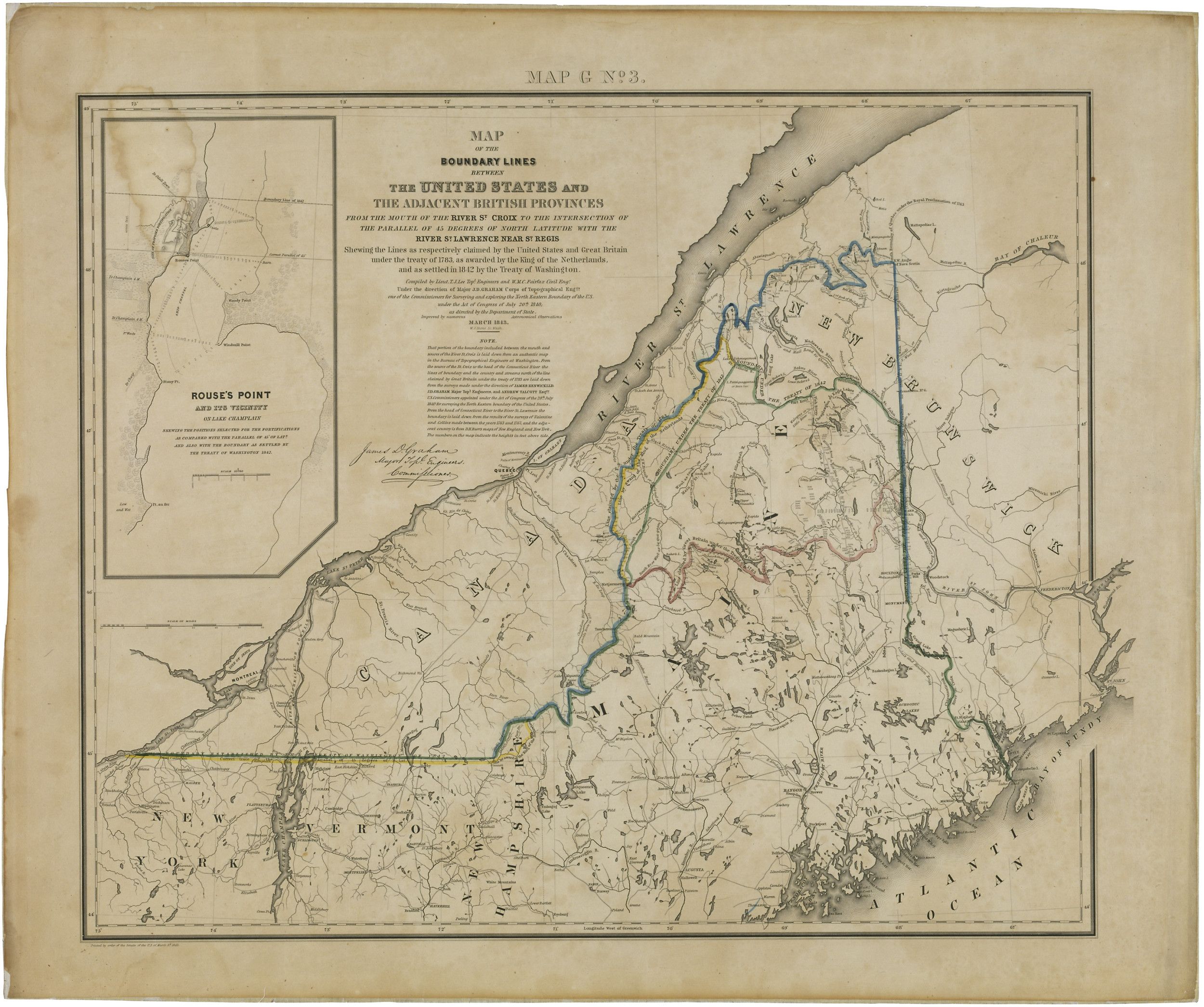
Created the year after the Webster-Ashburton Treaty of 1842, this map finally defined America’s northeastern border. The Treaty of Paris, which ended the Revolutionary War in 1783, had attempted to draw the line between Maine and New Brunswick. But for 50 years, the United States and Britain continued to claim the same 12,000 square miles that included the timber-rich Aroostook Valley.
This primary source comes from the Records of Boundary and Claims Commissions and Arbitrations.
National Archives Identifier: 595764
Full Citation: Map of Disputed Boundary Claims; 3/1843; Records of Boundary and Claims Commissions and Arbitrations, Record Group 76. [Online Version, https://docsteach.org/documents/document/map-of-disputed-boundary-claims, May 5, 2024]Rights: Public Domain, Free of Known Copyright Restrictions. Learn more on our privacy and legal page.