Map of Nebraska and Kansas Territories
1854
Add to Favorites:
Add all page(s) of this document to activity:
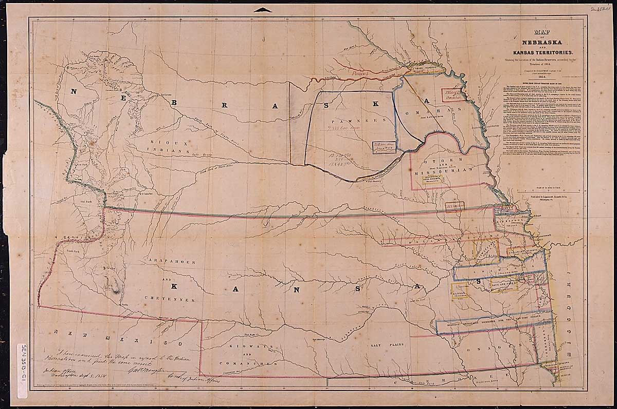
This map shows the location of the "Indian Reserves" according to the treaties of 1854.
This primary source comes from the Records of the U.S. Senate.
National Archives Identifier: 306436
Full Citation: Map of Nebraska and Kansas Territories, showing the location of the Indian Reserves according to the treaties of 1854; 1854; Presidential Messages to the Senate in the 35th Congress Transmitting Treaties and Other Papers Pertaining to Relations with the Pawnee Indians; Records Relating to Treaties with Indian Tribes, 1789 - 1871; Records of the U.S. Senate, Record Group 46; National Archives Building, Washington, DC. [Online Version, https://docsteach.org/documents/document/map-nebraska-kansas, April 18, 2024]Activities that use this document
- The Settlement of the American West
Created by the National Archives Education Team
Rights: Public Domain, Free of Known Copyright Restrictions. Learn more on our privacy and legal page.