Cañon of Palouse River
1857 - 1862
Add to Favorites:
Add all page(s) of this document to activity:
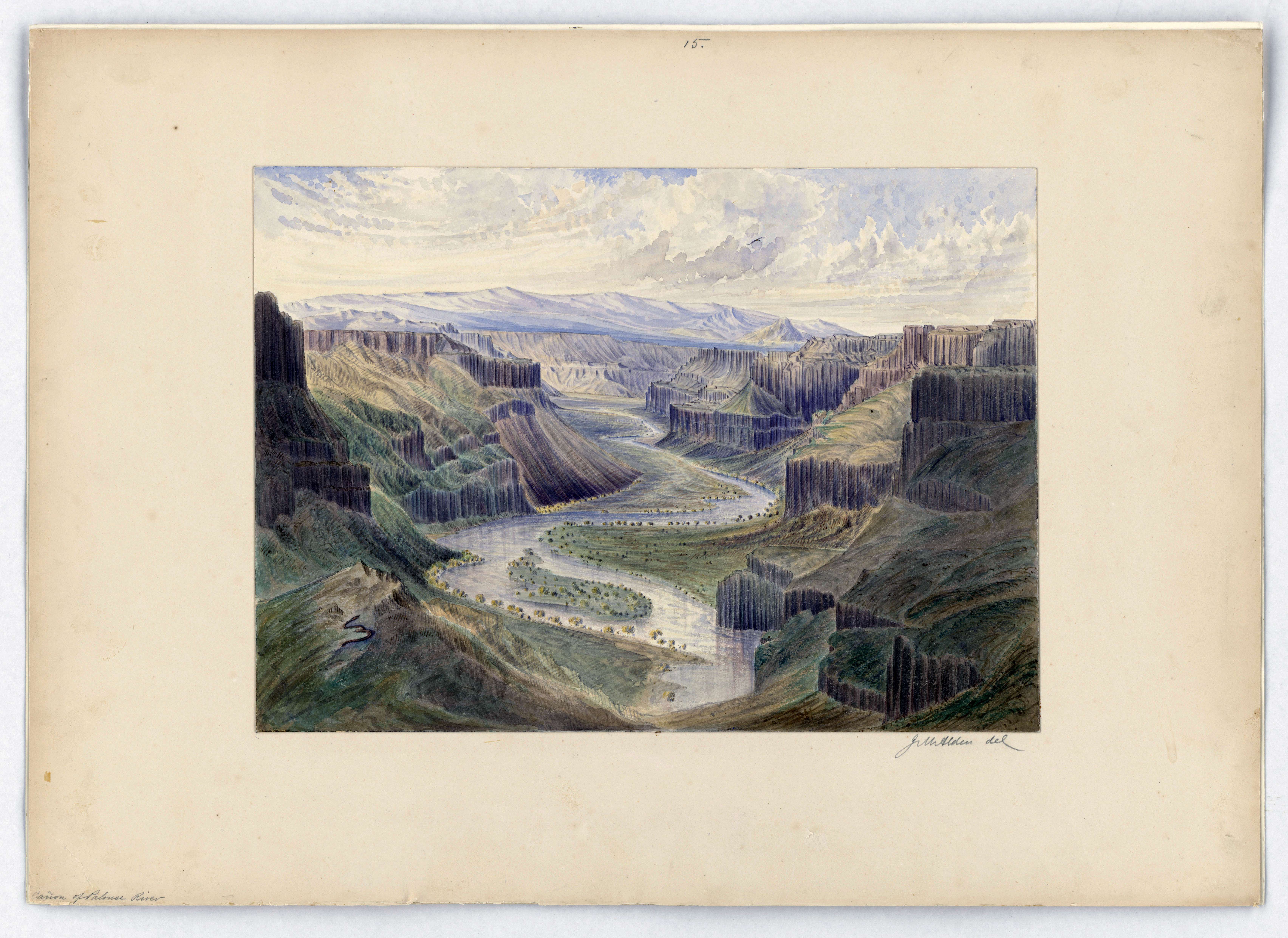
This watercolor is from a series of manuscript watercolor views along the northwest boundary between the Rocky Mountains and Point Roberts. The sketches were created by James W. Alden who accompanied the survey party that, during the 1860's and in compliance with the Treaty of 1846, was responsible for recording characteristics of the northwestern boundary of the United States.
This primary source comes from the Records of Boundary and Claims Commissions and Arbitrations.
National Archives Identifier: 102278854
Full Citation: Cañon of Palouse River; 1857 - 1862; Landscape Drawings of the Area Along the Northwest Boundary, 1857 - 1862; Records of Boundary and Claims Commissions and Arbitrations, Record Group 76; National Archives at College Park, College Park, MD. [Online Version, https://docsteach.org/documents/document/canon-of-palouse-river-looking-south-from-a-point-just-below-the-falls-great-falls, April 19, 2024]Rights: Public Domain, Free of Known Copyright Restrictions. Learn more on our privacy and legal page.
