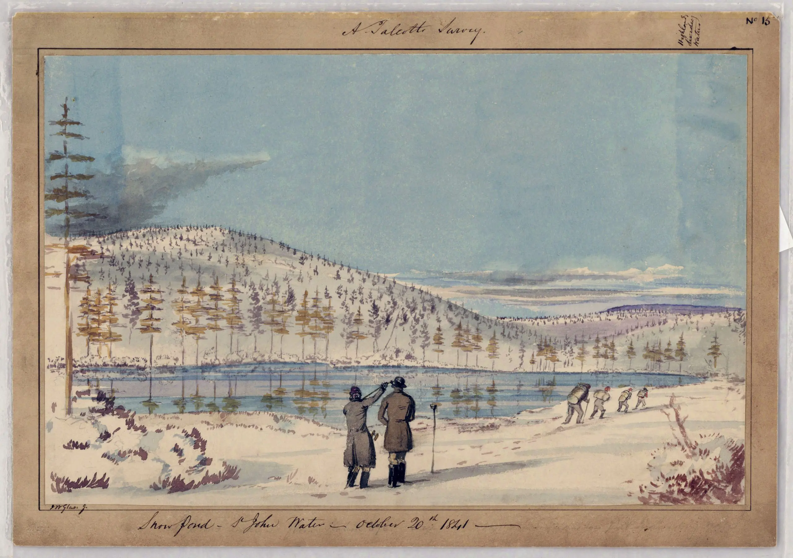
This watercolor Snow Pond – St John Water comes from a series of maps and related records pertaining to the establishment of the boundary between the United States and Canada from Passamaquoddy Bay to the St. Lawrence River. Included in the series are 15 watercolor sketches of the terrain and survey parties at work.


