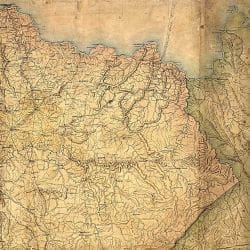
Military Map of the States of Kentucky and Tennessee within eleven [m]iles of the 35th Parallel of Latitude or Southern Boundary of Tennessee . . . Commenced under the Authority of Major General Don Carlos Buell, Commanding the Department of the Ohio, by Capt. N. Michler, Corps Topogl. Engrs., U.S.A., continued under Major General H. G. Wright by Maj. L. Sitgreaves, Corps Topogl. Engrs., U.S.A., and completd under Major General Ambrose E. Burnside, Commanding the Department, by Lieut. Col. J. H. Simpson, U.S.A., Chief of Engrs. in the Department, July 1863.


