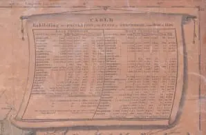
This map was drawn from the best authorities by F. Lucas Jr. and published by same. A “Table Exhibiting the Population of Tennessee from 1800 to 1820” is provided, divided into West Tennessee and East Tennessee, and organized by county. The population figures for 1820 are divided into free white females, free white males, enslaved people, and free colored persons. The population figures for 1800 and 1810 are given as straight total figures.