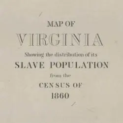
This map was important to illustrate the unequal distribution of enslaved persons in the eastern and western counties of Virginia. This particular version of the map was modified to include Kanawha, the western part of the state of Virginia, which is shown in light green. The map shows the smaller percentages of enslaved persons living in the western portion of the state versus the eastern portion. This issue, in part, led the western counties of Virginia to breaking off and form the new state of West Virginia in 1863.


