
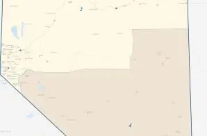
113th Congress of the United States, Nevada State Map
- 2010
Share to Google Classroom
View the full document here: https://docsteach.org/document/113th-congress-of-the-united-states-nevada-state-map/
Citation
This primary source comes from the Records of the Bureau of the Census.
National Archives Identifier: 124069245
Full Citation: 113th Congress of the United States, Nevada State Map; 2010; [Decennial] Census of Population and Housing, 2010: Thematic Maps, Large Sheet Maps; Thematic Maps from the 23rd Census of Population and Housing, 2010 – 2010; Records of the Bureau of the Census, Record Group 29; National Archives at College Park, College Park, MD. [Online Version, https://docsteach.org/document/113th-congress-of-the-united-states-nevada-state-map/, April 8, 2026]
Rights: Public Domain, Free of Known Copyright Restrictions. Learn more on our privacy and legal page.
Related Documents

Bicentennial Fire Hydrant Presentation Piece
Contemporary United States (1968 to the present)

Bicentennial Flag Necklace
Contemporary United States (1968 to the present)

Bicentennial Bumper Sticker
Contemporary United States (1968 to the present)