Mapping Westward Expansion
Beginning in the 19th Century the United States began expanding out from it’s original territory and heading west. Marked and outlined are some of the most important acquisitions that the United state made to be able to have all the land from the east coast to the west coast. Also included are the last two states acquired by the U.S.
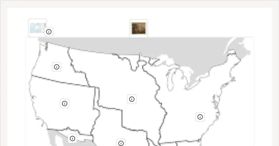
This activity allows for students to examine documents related to Westward Expansion. Students will then determine which of the outlined territories that the document matches too, and move that document to the inside of that Territory.
*Note, a couple of the documents have 2 pages to them, so check the hints to see if it is two pages.
Please Note: Activities may not be optimized on mobile devices. For the best experience, complete the activity on a desktop or laptop.
View the full activity: https://docsteach.org/activity/mapping-westward-expansion/