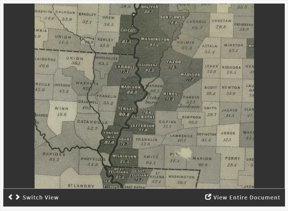
1860 Slavery Map of the United States
Focusing on Details: Zoom/Crop

About this Activity
- Created by:National Archives Education Team
- Historical Era:Civil War and Reconstruction (1850-1877)
- Thinking Skill:Historical Analysis & Interpretation
- Bloom's Taxonomy:Analyzing
- Grade Level:Middle School
In this activity, students will analyze a historical map showing percentages of enslaved people by county following the 1860 Census. Students will form an understanding of the distribution of slavery in the southern United States prior to the Civil War.
https://docsteach.org/activities/student/analyzing-a-map-with-data


